L & Q Surveys has the complete technical knowhow and latest equipment for carrying out remote sensing projects. We have worked extensively over the years and kept ourselves upgraded with what is the cutting edge of the surveying industry- the latest technology. Thus, at L & Q Surveys, you will not just get the advantage of latest technology, but also that of years of experience, available at the most viable of the prices. So, for assured quality work, do turn to L & Q Surveys.
Remote Sensing Surveys has been classified into two distinct fields. Namely airborne sensing equipment mounted on board a long range aircraft and surveys by using geostationary satellites and in some other cases polar orbiting satellites.
Remote sensing surveys by aircrafts is further bifurcated into sensing by piloted aircraft and in battlefield scenario by unmanned flights. On the battlefront the urgency is to know the tactical deployment of the enemy forces so that counter strategies can be put in place in shortest possible time. Unmanned flights are used where the risk of life is greatest, e.g. behind enemy lines.
Remote sensing is generally used for find the availability of sub soil oil, water and precious mineral and other elements. When the area of operations is known and fixed then a geostationary satellite is used. The geostationary satellite has a foot print of one third the earth. As compared to this a polar orbiting satellite has a low orbit of around 400 kilometres. A one meter resolution camera mounted on this gives high resolution pictures that are extremely useful for completing the aerial picture to the ultimate clarity.
Remote sensing surveys besides giving us availability of underground recourses is often used to spy on unfriendly countries for strategic reasons. Position of submerged armed submarines of the enemy forces is also acquired.
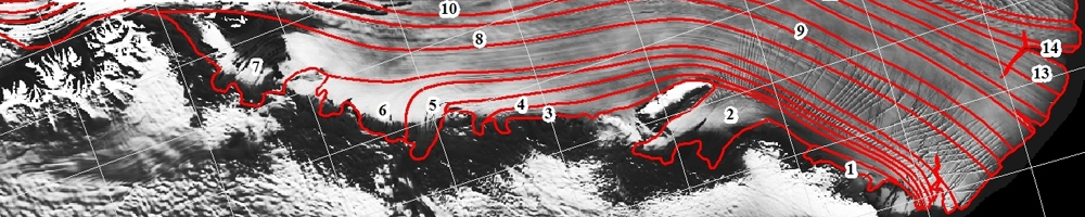
Remote sensing also plays an important role in preparation of maps and charts. In areas where the topography is not accessible by humans on foot, this technology is used. Cameras mounted on aircraft fly along the area, shore to be charted. This information is digitalised and used to prepare maps and charts.
From the above it will be clear that what can be done in a day with remote sensing would take months to do if it was done manually.
Integrated with highly expertise, technology and latest equipment, leading and being the forefront of the survey industry....
L & Q Survey, An ISO 9001:2000 company, successfully completed 21 Years in the Survey Industry. ...
L& Q Surveys (P) Ltd. successfully surveyed for MNC, Govt. of Delhi, Local Bodies, Educational Institutes in the field of Survey & Valuation....